

| ||
Aerial Services |
||
Jul 14, 2021 |

|
|
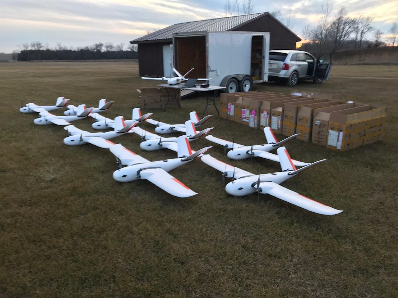
Aerial Services provides remote sensing with a focus on aviation, unmanned aircraft, surveying, GNSS/inertial positioning, photogrammetry, LiDAR, and 3D modeling. GNSS (Global Navigation Satellite System) were developed in the 20th century, mainly to help military personnel find their way, but location awareness soon found many civilian applications such as our Global Positioning System, GPS, we use instead of maps to navigate to unfamiliar destinations. LiDAR is a method for determining ranges (variable distance) by targeting an object with a laser and measuring the time for the reflected light to return to the receiver. LiDAR can also be used to make digital 3-D representations of areas on the earth's surface and ocean bottom, due to differences in laser return times, and by varying laser wavelengths. It has terrestrial, airborne, and mobile applications. |
||
 |
||
| 7:15 PM | ||
| Stephen Crouse | ||
Lifestyle Inn Lounge and Conference Center5826 University Ave. Cedar Falls 50613 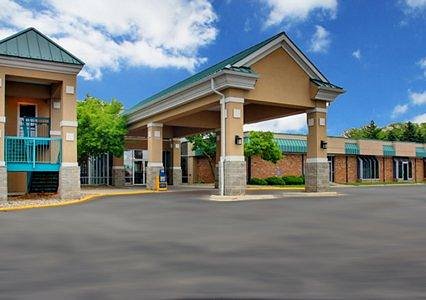
|
||
Nathan Eick, Geospatial Products Manager, Aerial Services Inc. |
||
Nathan Eick, Geospatial Products Manager and former Manned and Unmanned Aircraft Pilot at Aerial Services Inc. He has flown aircraft throughout the nation for LiDAR and photogrammetric surveys, and today he focuses on analyzing LiDAR data and making maps from photos and lasers |
||
| 6:00 PM | ||
| 6:30 PM | ||
Dinner includes rolls, butter, coffee, tea and milk. Dinner Items are currently TBD |
||
|
Waterloo Technical Society
112 Years |


|
|